
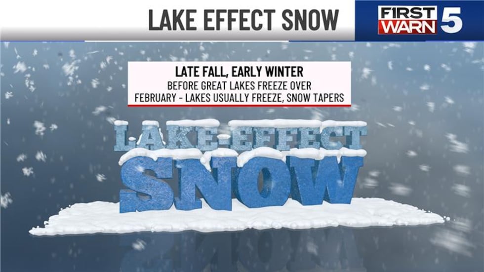
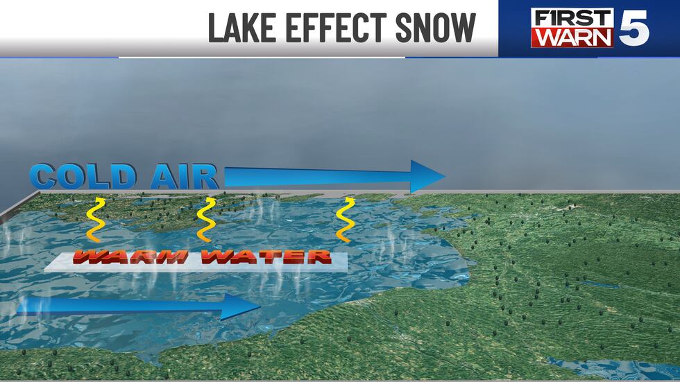
KANSAS CITY, Mo. (KCTV) – Lake effect snow develops when frigid Arctic air masses sweep across the unfrozen expanse of a large lake. This setup occurs most often during late fall and early winter.
As this cold, dry air races over the warmer water, it eagerly siphons heat and moisture from the lake’s surface. This injection of warmth and humidity causes the lowest layer of air to become significantly warmer and less dense than the air above it, prompting it to rise in buoyant plumes or bubbles—a process known as convection.

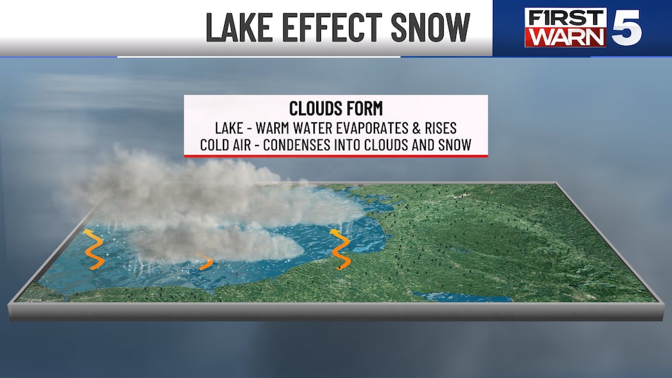
As these warm, moist air parcels ascend, they encounter cooler temperatures. This cooling causes the water vapor to condense, forming clouds, and as the air continues to cool to its saturation point, it leads to the formation of snow.
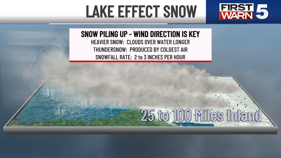
Lake effect snow events are characterized by their intense and highly localized nature. They often set up as narrow bands of heavy snowfall pushing 25 to 100 miles inland. Large differences in accumulation occur over very short distances. One area might be buried under a significant blanket of snow, while a neighboring community just a few miles away receives little to no precipitation.
These events are also notorious for their rapid and dramatic changes in weather conditions. It’s not uncommon for a location to experience clear, calm skies one moment, only to be engulfed in a sudden, blinding blizzard minutes later when these narrow bands of snowfall shift, or new ones develop, due to subtle changes in atmospheric conditions.
This swift transformation, coupled with severely reduced visibility, poses immense dangers to motorists, making driving conditions exceptionally hazardous.
To get the latest weather updates sent to your phone, download the First Warn 5 Weather app here.
Copyright 2025 KCTV. All rights reserved.