

Learn how the longest continuous archive of Earth observation plays a critical role in monitoring and managing resources.
NASA and AmericaView teamed up again to create the 2022 Earth Science Week poster. The front of the poster features natural and false-color images acquired by six different Landsat satellites going back to the 1970s — emphasizing the lasting impact Landsat has had on earth science for more than 50 years.
The back of the poster features a timeline of the Landsat program’s history as well as playing cards showing change over time.
You can also learn more about the Landsat 9 satellite mission, AmericaView, and Earth Observation Day.
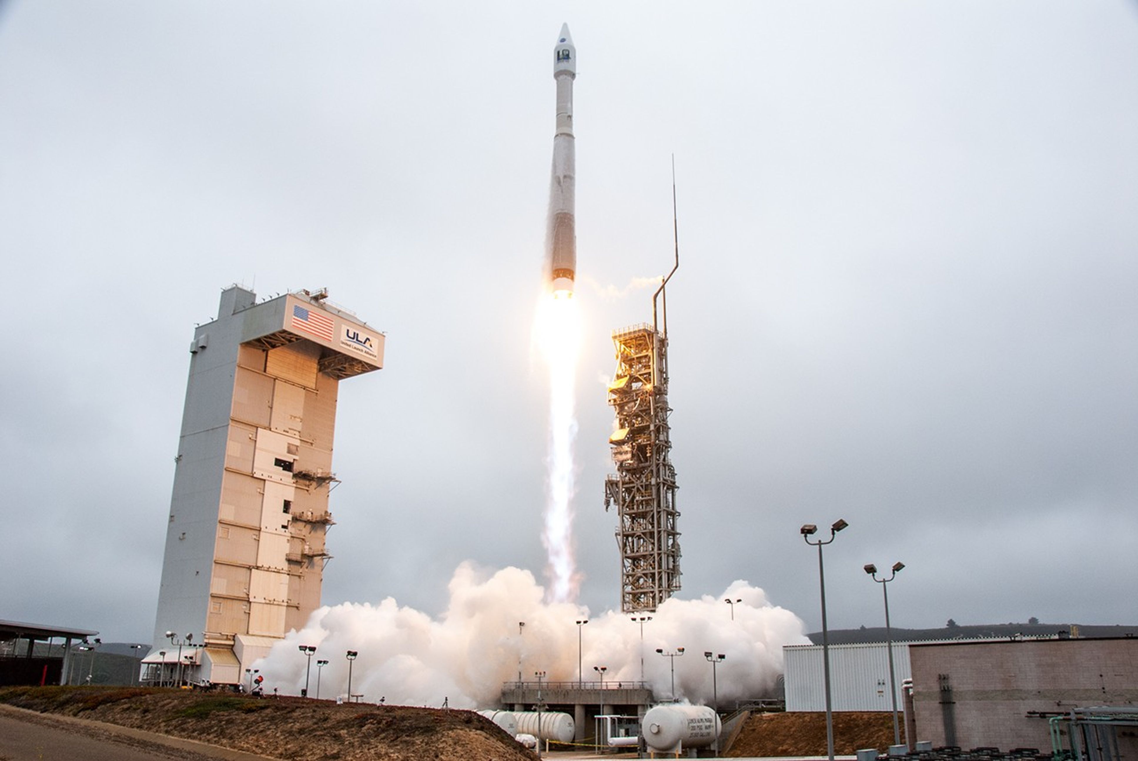
Since its launch on July 23, 1972, the Landsat series of satellites has allowed scientists and researchers to explore Earth from space like never before and investigate how our planet has changed over time.
Learn more about how Landsat’s five decade-long data record has shaped how we study our home planet in A Planetary Sage: Landsat at 50.
Related Resources

AmericaView
A nationwide, university-based, and state- implemented consortium that advances the widespread use of remote-sensing data and technology through education, outreach, and workforce development for the public and private sectors.
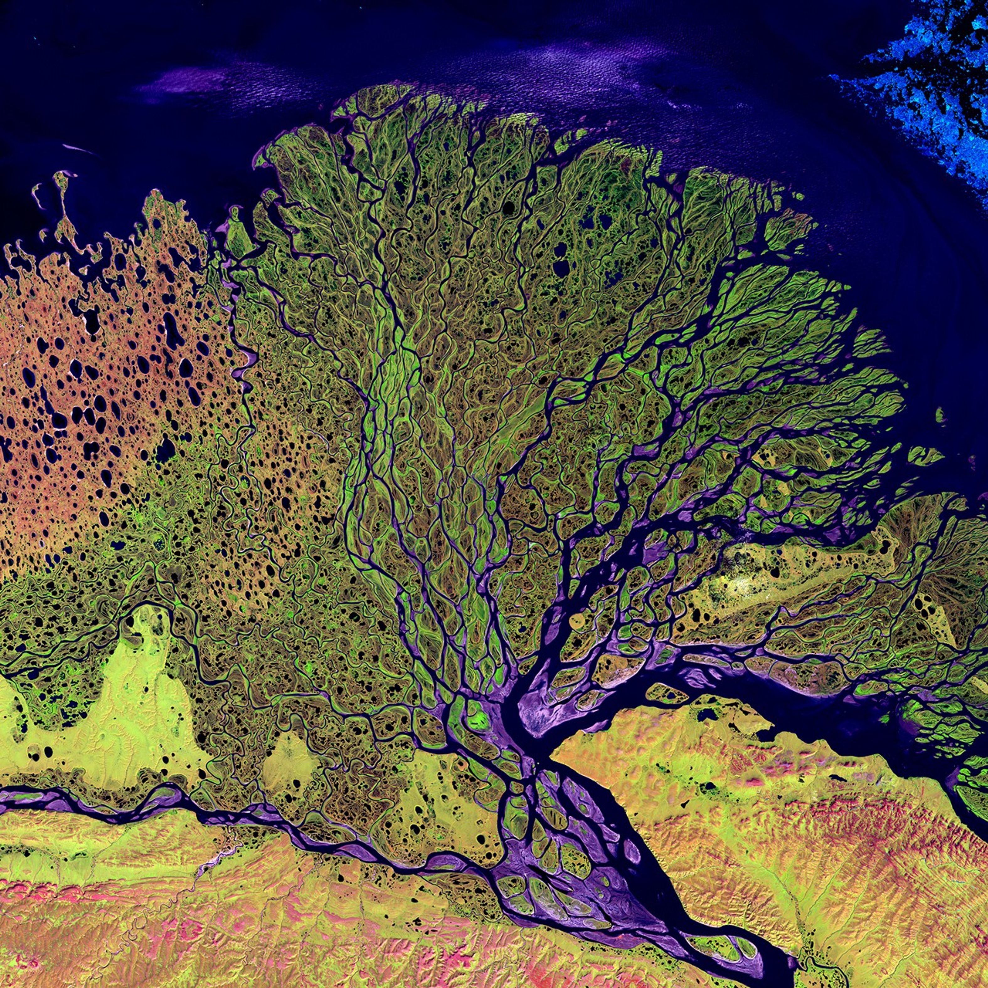
USGS EROS Earth as Art
A collection of satellite images that showcase the artistic and aesthetic beauty of Earth’s surface using combinations of visible and infrared light.
USGS Landsat
A central hub for all Landsat information from the U.S. Geological Survey including data tools, mission updates, and science highlights.
NASA’s Earth Observatory
An online source of images, stories, and discoveries about the environment, Earth systems, and climate that emerge from NASA research, including its satellite missions, in-the-field research, and models
Poster design by Allison Nussbaum and Ginger Butcher.
Keep Exploring